Marine Charts Review: Navionics vs. C-MAP vs. BlueChart / Garmin Navionics+
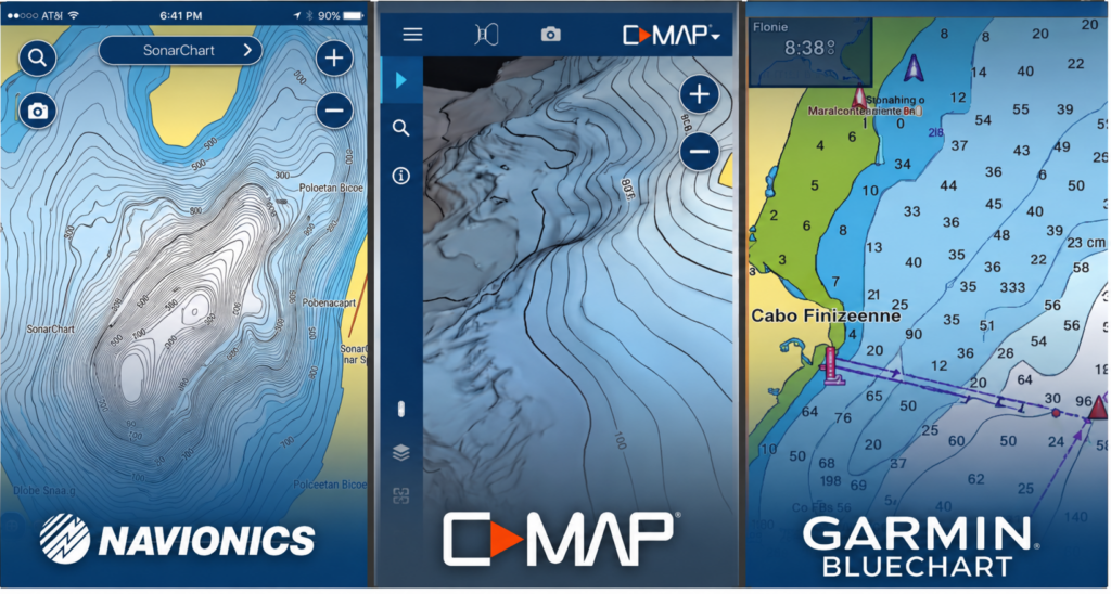
Choosing the right marine electronic chart is just as important as choosing the right chartplotter or MFD. While today’s marine electronics offer powerful navigation features, the quality of your charts determines how confidently you can navigate unfamiliar waters, locate productive fishing spots, and safely plan your routes.
Among recreational boaters, three charting platforms dominate the market: Navionics, C-MAP, and Garmin BlueChart, now sold as Garmin Navionics+ and Garmin Navionics Vision+. Although many boaters still refer to Garmin’s charts as BlueCharts, Garmin has transitioned to the newer Navionics-based products while maintaining compatibility with many existing Garmin chartplotters.
In this marine electronic chart review, we’ll compare the features, advantages, drawbacks, compatibility, and ideal use cases of each platform to help you choose the best digital marine charts for your voyages.
Navionics Review: The Most Widely Used Marine Charting System
Navionics is one of the most widely used marine charting platforms in recreational boating and fishing. Today, its current chart product line is sold as Navionics+, which builds on the original Navionics system with more frequent updates, improved bathymetric detail, and expanded chart data coverage across freshwater and coastal waters.
Navionics+ combines official hydrographic surveys, sonar-derived mapping, and Community Edits submitted by boaters to continuously refine shoreline detail, depth contours, and local navigational information over time.
Navionics Pros
Best-in-class inland and freshwater coverage
Navionics+ is especially strong for lakes, rivers, reservoirs, and inland waterways, making it a top choice for freshwater anglers and mixed-use boaters, thanks to logged community data.
Strong coastal navigation coverage
Provides reliable coastal charting with detailed shoreline and depth information for nearshore and offshore use.
More frequent chart updates
Navionics+ improves over time through continuous updates, refining depth data, shoreline accuracy, and user-submitted corrections.
SonarChart high-resolution bathymetry
Highly detailed contour mapping generated from sonar data and hydrographic sources, improving bottom structure visibility.
Community Edits system
Crowdsourced updates for hazards, anchorage points, marinas, and local navigation details not always found in official charts.
Wide multi-brand compatibility
Works across Garmin, Raymarine, Simrad, Furuno, Lowrance, and B&G chartplotters, making it one of the most flexible chart systems available.
Outstanding Boating App
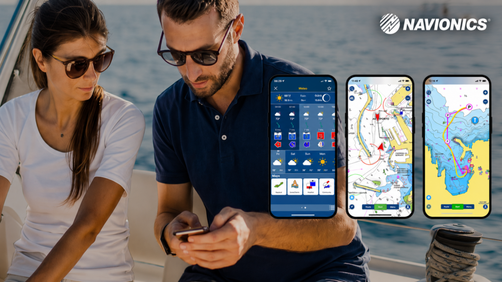
The Navionics Boating app is considered one of the industry’s best mobile navigation apps, allowing users to plan routes on smartphones or tablets before syncing them to compatible chartplotters.
Navionics Cons
Can appear visually dense
High detail levels can make charts feel cluttered on smaller screens.
Region-based licensing model
Coverage is sold by geographic regions, which may require multiple purchases for extended cruising areas.
Feature variation by chartplotter brand
Some features may behave differently depending on the manufacturer’s ecosystem and hardware.
What Is Navionics Platinum+?
Navionics Platinum+ is the premium version of Navionics+, offering all of the same navigation charts and features along with several enhanced visualization tools. Depending on your compatible chartplotter, Platinum+ adds features such as high-resolution satellite imagery, aerial photography, panoramic port photos, 3D chart views, and relief shading, making it easier to identify landmarks, navigate complex coastlines, and visualize underwater terrain. While many recreational boaters will find Navionics+ more than sufficient, Platinum+ is a worthwhile upgrade for offshore cruisers, tournament anglers, and anyone who wants the most detailed visual representation of the waters they navigate.
C-MAP Review: Excellent for Offshore Fishing and Coastal Cruising
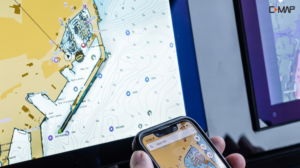
Developed by Navico Group, C-MAP has become a favorite among offshore anglers, coastal cruisers, and divers. Its premium chart packages place a strong emphasis on bottom detail, shaded relief, and harbor information.
C-MAP Pros
Outstanding Shaded Relief
Premium products like C-MAP Reveal and C-MAP Reveal X provide highly detailed shaded relief that makes underwater terrain, ledges, reefs, wrecks, and drop-offs easier to visualize.
Custom Depth Shading
Users can assign colors to specific depth ranges, making productive fishing depths or shallow hazards easy to identify at a glance.
Detailed Harbor Information
C-MAP includes extensive marina information, harbor services, marina facilities, local points of interest, and port details to assist cruisers entering unfamiliar waterways.
Excellent Integration with Simrad, Lowrance, and B&G
C-MAP integrates seamlessly with Simrad, Lowrance, and B&G chartplotters, making it a natural choice for owners of those systems.
C-MAP Cons
Less Comprehensive Freshwater Coverage
While C-MAP performs exceptionally well in coastal waters and major lakes, anglers who frequently fish smaller inland lakes may find Navionics offers broader freshwater coverage.
Mobile App Still Developing
Although C-MAP offers a companion mobile app, many users prefer the overall experience and route-planning capabilities of the Navionics Boating app.
Garmin BlueChart / Garmin Navionics+ Review
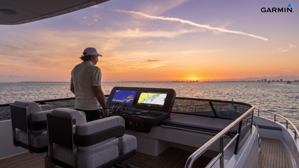
For years, Garmin BlueChart was Garmin’s proprietary marine charting system and the standard mapping solution for Garmin chartplotters. It was widely respected for its clean, easy-to-read vector charts, strong offshore reliability, and tight integration with Garmin MFDs, making it a favorite among cruisers and offshore anglers who valued simplicity and dependable onboard performance. BlueChart g3 and BlueChart g3 Vision also introduced enhanced layers such as relief shading, 3D views (Vision), and satellite imagery on higher-tier cards, all optimized specifically for Garmin hardware.
Today, Garmin has transitioned from BlueChart to Garmin Navionics+ and Garmin Navionics Vision+, which combine Garmin’s system integration with the extensive Navionics chart database. While the BlueChart name is still widely recognized and supported on older chartplotters, Garmin Navionics+ is now the primary modern charting platform for Garmin users.
Garmin Navionics+ Advantages (vs general Navionics+)
Although Navionics+ is a cross-brand chart system used across Garmin, Raymarine, Simrad, Lowrance, and B&G, Garmin Navionics+ is specifically optimized for Garmin chartplotters, delivering a more integrated experience within the Garmin ecosystem.
Key advantages include:
- Seamless Garmin integration with Garmin ActiveCaptain for wireless updates, syncing, and chart management
- Optimized performance on Garmin hardware, with charts and overlays tuned specifically for Garmin’s interface and processing
- Full access to Garmin navigation features, including Auto Guidance+ routing and Garmin-specific system tools
- More unified user experience, since charting, routing, and device controls are all designed to work together within a single ecosystem
Garmin BlueChart / Garmin Navionics+ Pros
Best-in-class Garmin integration
Designed specifically for Garmin chartplotters with seamless compatibility and system-wide integration.
ActiveCaptain connectivity
Wireless updates, route planning, and syncing through Garmin’s ecosystem app.
Clean, readable chart design
Uncluttered vector presentation that is easy to interpret during navigation.
Auto Guidance+ routing (Garmin Navionics+)
Advanced routing built into Garmin’s ecosystem for compatible units.
Smooth performance on Garmin hardware
Charts are optimized for Garmin processors and display systems.
Garmin BlueChart / Garmin Navionics+ Cons
Garmin-only ecosystem
Cannot be used on Raymarine, Simrad, Lowrance, B&G, or other non-Garmin chartplotters.
Less cross-brand flexibility
Unlike Navionics+, it cannot be transferred or reused across different hardware brands.
Legacy BlueChart limitations
Older BlueChart cards lack some of the newer Navionics-based chart enhancements and update systems.
Marine Electronic Chart Compatibility
| Chart Platform | Compatible Chartplotters |
|---|---|
| Navionics / Navionics+ | Garmin, Raymarine, Simrad, Lowrance, B&G, and selected Humminbird models |
| C-MAP | Simrad, Lowrance, B&G, and compatible Furuno models (varies by chart format) |
| Garmin BlueChart / Garmin Navionics+ | Garmin chartplotters only |
Always verify compatibility with your specific chartplotter model before purchasing, as supported chart formats vary between newer and older devices.
Which Marine Electronic Charts Should You Choose?
Choose Navionics / Navionics+ if:
- You regularly fish freshwater lakes and rivers.
- You want excellent worldwide chart coverage.
- You frequently plan routes using a smartphone or tablet.
- You own compatible chartplotters from multiple manufacturers.
Choose C-MAP if:
- You primarily fish offshore.
- Detailed bottom imagery and shaded relief are priorities.
- You own a Simrad, Lowrance, or B&G chartplotter.
- You frequently cruise unfamiliar coastal waters.
Choose Garmin BlueChart (Garmin Navionics+) if:
- You own a Garmin chartplotter.
- You want seamless compatibility with the Garmin ecosystem.
- You use the Garmin ActiveCaptain app.
- You prefer a clean, easy-to-read chart presentation.
Final Verdict
Navionics, C-MAP, and Garmin BlueChart (Garmin Navionics+) all offer excellent marine electronic maps, but the right choice depends on your chartplotter, boating style, and the waters you navigate most often.
If you want broad compatibility, exceptional freshwater coverage, and one of the best mobile navigation experiences available, Navionics is an outstanding all-around choice.
If offshore fishing, detailed bottom imagery, and advanced shaded relief are your priorities, C-MAP is an excellent option, especially for owners of Simrad, Lowrance, and B&G electronics.
For Garmin users, Garmin BlueChart (now Garmin Navionics+) provides the most seamless experience by combining Garmin hardware with integrated charting, wireless updates, and optional Vision+ premium features.
Any questions, don’t hesitate to contact us here!
Have a good one!

Citimarine Store
10801 NW 33rd St.
Miami, FL 33172
1-(800)-766-5256
sales@citimarine.com
CitimarineStore.com
–






Leave a Comment