EPIRB / PLB vs iPhone Satellite SOS vs Garmin inReach / ZOLEO in Emergency Boating Situations
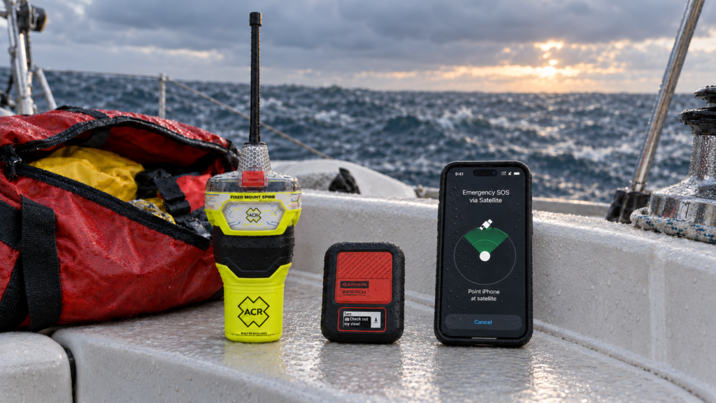
Thanks to satellite connectivity on newer iPhones boaters now have a valuable emergency option when traveling beyond cellular coverage. It also raises an important question many boaters are wondering: Can an iPhone replace an EPIRB, PLB, Garmin inReach, or ZOLEO?
For offshore boating, the answer is no. While each of these devices can request emergency assistance, they use different satellite systems, contact different response networks, and are designed for use in very different conditions.
A registered 406 MHz EPIRB still remains the primary distress-alerting device for a vessel, while a PLB provides a similar personal emergency beacon for an individual. Garmin inReach and ZOLEO devices offer rugged, two-way satellite communication, and an iPhone with satellite SOS is a useful backup in worst case scenarios.
Quick Comparison
| Feature | EPIRB / PLB | Garmin inReach / ZOLEO | iPhone Satellite SOS |
|---|---|---|---|
| Satellite system | Cospas-Sarsat on 406 MHz | Iridium | Globalstar and other supported networks |
| Primary purpose | Dedicated distress alerting | Two-way satellite communication and SOS | Emergency communication when cellular and Wi-Fi are unavailable |
| Emergency routing | Government search-and-rescue system | Private 24/7 emergency coordination center | Emergency services or an emergency relay center |
| Subscription required | No | Yes | Currently included for eligible devices, subject to Apple’s terms |
| Two-way messaging | Generally no; some models provide return-link confirmation | Yes | Yes, during supported satellite sessions |
| Automatic deployment | Category I EPIRBs only | No | No |
| 121.5 MHz homing signal | Yes | No | No |
| AIS distress transmission | Available on certain newer EPIRBs and PLBs | No | No |
| Minimum transmission time | EPIRB: 48 hours; PLB: 24 hours | Depends on model, charge and usage | Depends on phone charge and operating conditions |
| Designed to float while transmitting | EPIRBs: yes; PLBs: model-dependent | Generally no | No |
| Best role offshore | Primary vessel or personal distress beacon | Secondary communication and coordination device | Additional emergency backup |
EPIRBs and PLBs: Dedicated 406 MHz Distress Beacons
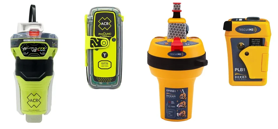
EPIRBs and PLBs transmit distress alerts on the internationally protected 406 MHz frequency through the Cospas-Sarsat satellite system. In the United States, alerts are routed to government rescue agencies such as the U.S. Coast Guard or Air Force Rescue Coordination Center.
Each beacon carries a unique ID number. When the beacon is properly registered with NOAA, rescuers can quickly access important information about the owner, vessel and emergency contacts.
What an EPIRB Provides
An EPIRB is designed for maritime emergencies. Depending on the model, it may provide:
- A registered 406 MHz distress alert sent through Cospas-Sarsat
- GNSS coordinates from GPS, Galileo or another supported navigation system
- A 121.5 MHz signal that rescue crews can use for close-range homing
- A high-intensity strobe light
- At least 48 hours of operation after activation
- A buoyant design intended to float upright while transmitting
- Automatic release and activation on Category I models
- AIS distress transmission on selected newer models
- Return Link Service on compatible models, confirming that the alert was received and forwarded to authorities
A Category I EPIRB is mounted in a float-free bracket with a hydrostatic release. If the vessel sinks, the bracket is designed to release the EPIRB automatically so it can float to the surface and begin transmitting.
A Category II EPIRB requires manual activation.
How a PLB Differs From an EPIRB
A PLB uses the same 406 MHz Cospas-Sarsat distress system an EPIRB, but it’s registered to the individual rather than the vessel.
PLBs are smaller and easier to carry on a life jacket, in a ditch bag, aboard a tender, etc. However, they are manually activated, generally have a minimum operating time of 24 hours, and should not be assumed to float unless the specific model is designed to do so.
For offshore use, a PLB is best considered a personal supplement to the vessel’s EPIRB—not necessarily a replacement for it.
iPhone Emergency SOS via Satellite
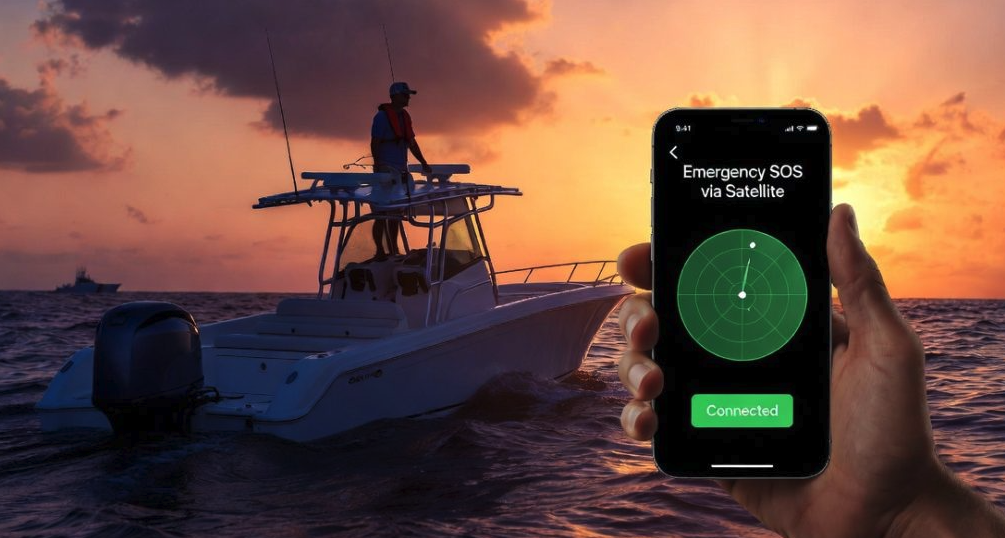
On supported iPhone models and in supported countries, Apple’s Emergency SOS via satellite can connect a user with emergency services when cellular and Wi-Fi coverage are not available.
The iPhone guides the user through a set of emergency questions, transmits the phone’s location and other available information, and opens a text conversation with emergency responders. Depending on the location and emergency-service capabilities, the message may go directly to emergency services or through an emergency relay center.
Apple states that the user must be outdoors with a clear view of the sky and horizon. On-screen instructions help the user point the phone toward an available satellite and maintain the connection while messages are being sent and received.
While an impressive and helpful capability, it is not the same level of assurance that an activated marine distress beacon will provide you in an emergency situation.
Limitations of the iPhone SOS system in an Abandon-Ship Emergency
There are several reasons that would make iPhone’s SOS capabilities very concerning to depend on during a severe marine emergency:
- It must be manually accessed and operated.
- The user may need to follow on-screen positioning instructions.
- Water on the display or wet hands can interfere with touchscreen operation.
- It does not float unless protected by a suitable floating case.
- Battery life depends on the phone’s charge, temperature and prior use.
- A damaged screen or water-compromised phone may become unusable.
- It does not transmit a 121.5 MHz homing signal.
- It does not alert nearby vessels through AIS.
- It cannot automatically deploy from a sinking boat.
- Satellite emergency features are limited to supported devices, software versions and regions.
In calm conditions, an iPhone may successfully provide two-way emergency communication. In a capsizing, fire or abandon-ship situation, however, locating the phone, unlocking it, navigating the interface and maintaining satellite alignment may be much harder.
iPhone’s Emergency SOS system should be treated as valuable accessory in your safety communication when boating, not as a replacement for more dedicated marine safety equipment such as EPIRBS and PLBs.
Garmin inReach and ZOLEO: Two-Way Satellite Communicators
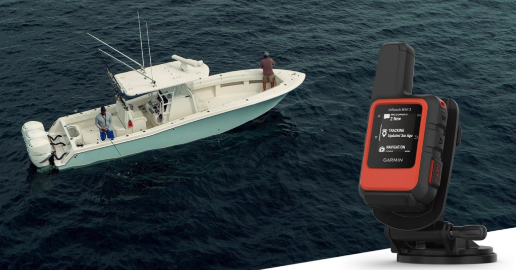
Garmin inReach and ZOLEO devices use the Iridium satellite network to provide two-way messaging, location sharing and interactive SOS communication outside cellular coverage.
When an SOS is activated, the device sends the user’s location and emergency information to a private emergency coordination center. The responder can exchange messages with the user, gather details about the situation and coordinate with the appropriate local authorities.
This two-way communication is their greatest advantage over the other options we’ve mentioned.
During an offshore emergency, a satellite messenger like Garmin inReach or Zoleo allow you to report:
- The nature of the emergency
- The number of people aboard
- Injuries or medical conditions
- Whether the vessel is sinking, disabled or drifting
- Available survival equipment
- Changes in position or conditions
- Whether assistance is still required
These details can help emergency coordinators organize an appropriate response and allow the crew to know that the SOS was received.
Why They Are Better Suited to Harsh Conditions than iPhone SOS Service
Garmin inReach and ZOLEO devices are purpose-built for outdoor use. Features vary by model, but commonly include:
- A dedicated, covered SOS button
- Rugged, water-resistant construction
- The ability to initiate an SOS without a functioning phone
- Multi-day battery capacity
- Satellite tracking and location sharing
- Two-way messaging (phone pairing required for Zoleo)
- Weather information and routine check-ins
ZOLEO, for example, allows an SOS or preset check-in to be initiated directly from the communicator if the paired smartphone is damaged or out of power. However, the ZOLEO app and a functioning paired phone are required for two-way messaging, weather forecasts and detailed communication with the emergency-response center.
These devices still require a reasonably clear view of the sky, and their satellite functions generally require an active subscription. Unlike an EPIRB, they do not transmit a 406 MHz distress signal, provide a 121.5 MHz homing signal, or float free and activate automatically if the vessel sinks.
For these reasons, a Garmin inReach or ZOLEO should complement an EPIRB rather than replace one.
The Bottom Line
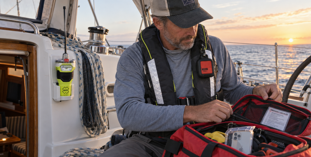
An EPIRB, a Garmin inReach or ZOLEO, and an iPhone with satellite SOS can all contribute to offshore safety, but they are not equivalent.
An EPIRB or PLB is a dedicated 406 MHz distress beacon connected to the international government-supported search-and-rescue system. Garmin inReach and ZOLEO provide rugged, two-way satellite communication through a private emergency coordination service. The iPhone offers a convenient method of reaching emergency services in emergency situations that are not as extreme.
Your safest bet is a setup using all three layers: a registered EPIRB or PLB for dedicated distress alerting, a Garmin inReach or ZOLEO for two-way communication, and iPhone Satellite SOS as an additional backup.
We carry emergency signaling devices, including EPIRBs, PLBs and two-way satellite communicators, here: Marine Emergency Signaling Devices
Any questions or comments on emergency signaling devices, contact us or feel free to leave in the comments section below!
Have a good one!

Citimarine Store
10801 NW 33rd St.
Miami, FL 33172
1-(800)-766-5256
sales@citimarine.com
CitimarineStore.com
–






Leave a Comment