
By buying this product you can collect up to 17 Citimarine points. Your cart will total 17 points that will be converted into a voucher of $1.70 towards your next purchase! Must be logged in to collect points.
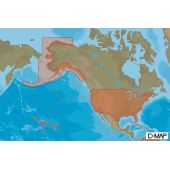
NA-Y074 Max N+ microSD Southeast US Lake Insight HD
C-MAP NA-Y074 Max N+ microSD Southeast US Lake Insight HD combines accurate and up-to-date global chart data with features designed specifically for avid fishermen, cruise ships and sailors. Aerial photos and worldwide database of Marina Info/Port Services great for cruisers, sailors, and traveling fishermen. Dynamic Raster Charts for a traditional "paper chart" look with the ability to "pull up" information on important chart objects.
Reference: M-NA-Y074-MS
$179.00
Free Shipping on Orders over $99
*On Orders Over $99; Not including: Hazardous, Oversize, Greater than (+150 lbs.) or Freight Advertised Products. FEDEX Ground Shipping / Continental US Only
Shipping Calculator
C-MAP NA-Y074 Max N+ microSD Southeast US Lake Insight HD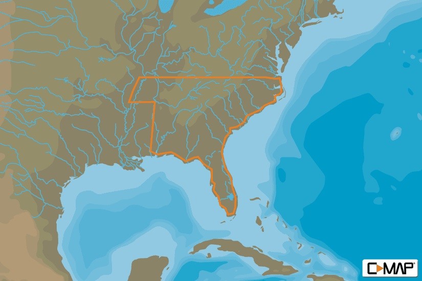
When you choose C-MAP you can count on accurate, up-to-date charts from official sources worldwide, advanced features, and C-MAP's commitment to safe navigation. C-MAP MAX-N+ cartography brings the majority of the C-MAP 4D content and many of its features and functions to selected navigation systems, combining accurate, up-to-date global chart data with features designed specifically for avid anglers, cruisers and sailors.
Features
High-Resolution Bathymetric (HRB) bottom contour/fishing charts to help anglers target fish-holding coastal and offshore structure more effectively
Dynamic Tides & Currents predictions that help anglers determine the best times to hit productive rips, shoals, rocks and channels
Aerial photos and worldwide database of Marina Info/Port Services great for cruisers, sailors, and traveling fishermen
Sport Fishing Data for valuable information on wrecks/reefs, including composition, depth, orientation and other details anglers can use to fish more effectively
High-resolution satellite imagery to enhance situational awareness and improve safety
Dynamic Raster Charts for a traditional "paper chart" look with the ability to "pull up" information on important chart objects
Shaded relief vector chart presentation highlights specific depth contours, valuable when cruising or fishing![]()
Other Models