Marine Electronic Charts
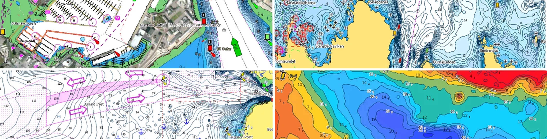
Marine Electronic Charts by C-Map, Navionics and Garmin will improve your navigation tremendously. See your location in real time on a dynamic map, and easily plan your routes. Electronic charts are digital versions of traditional government-issued paper charts, and all the data used to make them comes from the original National Oceanic and Atmospheric Association (NOAA), Canadian Hydrographics or other government sources. All you need to navigate and find fish.
Subcategories
Products
Sort by: