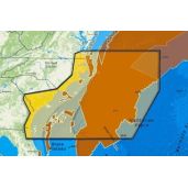
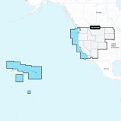
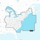
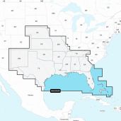
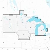
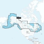
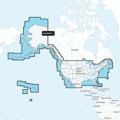
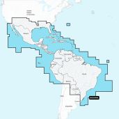
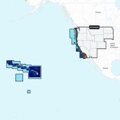
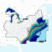
Reveal Ultra High Resolution Bathymetric Chart N. California - S. Oregon
M-NA-Y653-MS
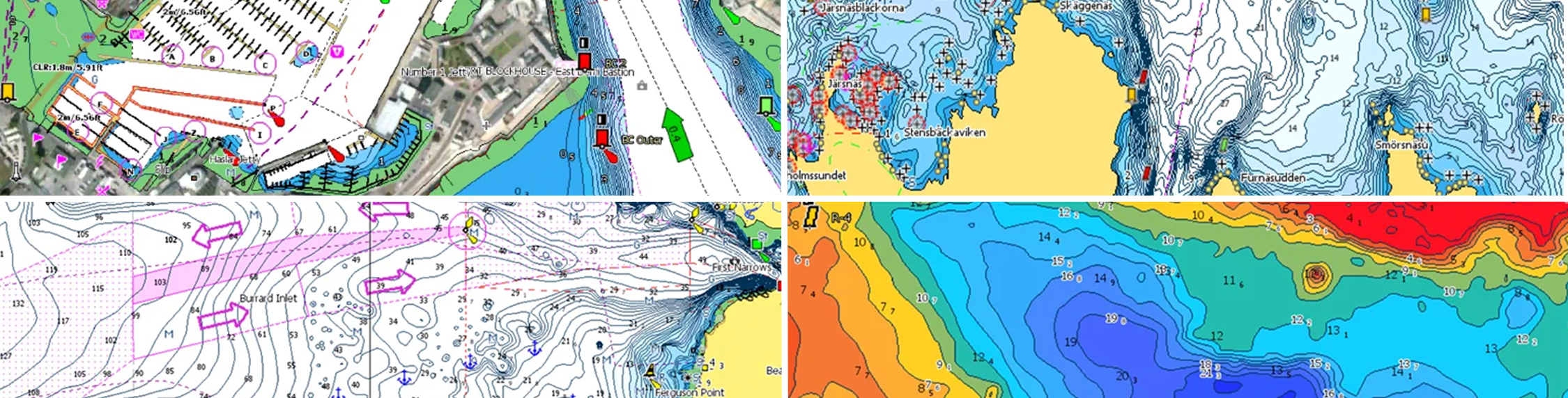
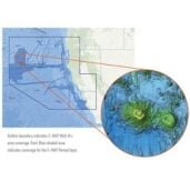
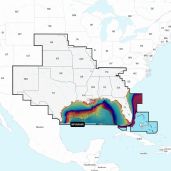
C-MAP Reveal Ultra High Resolution Bathymetric Chart N. California - S. Oregon is a Ultra High-Resolution bathymetric imagery sea floor layer added to existing MAX N+ data content to clearly identify the sea floor structure, as well as wrecks, isolated reefs and ledges in between the contour lines to find the best diving and bottom fishing spots for sport fishing and diving markets.